Cybertiks
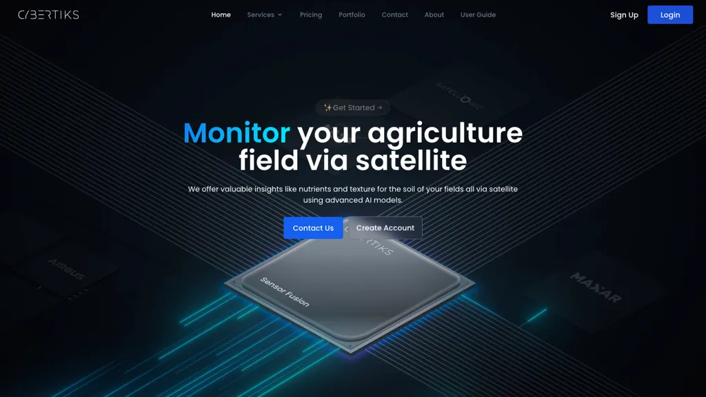
CyberTiks is an AI tool utilizing satellite imagery to monitor fields, accurately (80%) detecting nutrient levels, soil texture, and mineral elements. It provides consistent updates and historical data, combining multiple sources for in-depth analysis.
全部({{commentRowsTotal}})